Limnology
教育频道
探索
寻找类似的频道
🇨🇳 中文
🇺🇸 English
🇪🇸 Español
🇷🇺 Русский
🇧🇷 Português
🇸🇦 العربية
🇰🇷 한국어
🇫🇷 Français
🇹🇷 Türkçe
🇩🇪 Deutsch
🇮🇩 Bahasa Indonesia
🇹🇭 ไทย
🇵🇱 Polski
🇮🇹 Italiano
🇯🇵 日本語
🇻🇳 Tiếng Việt
🇧🇩 বাংলা
🇱🇰 සිංහල
Youtube上的频道如 Descomplica QGIS
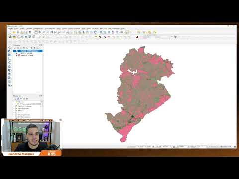
Descomplica QGIS
6,450
6.05
%
COMO BAIXAR E INSTALAR O QGIS (NOVO SITE | ATUALIZADO 2024)
PLANTA GEORREFERENCIADA para Licenciamento no QGIS do ZERO
Como COMPARTILHAR PROJETOS do QGIS
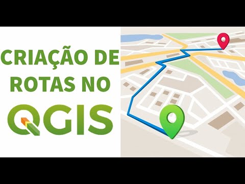
Criando ROTAS e ISÓCRONAS no QGIS (ORS Tools)
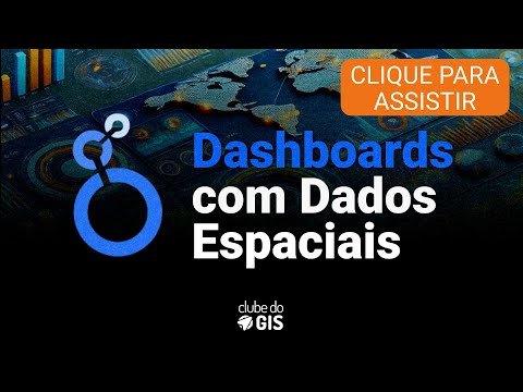
Conheça o curso DASHBOARDS COM DADOS ESPACIAIS
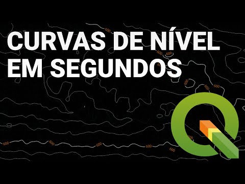
Como gerar CURVAS DE NÍVEL NO QGIS [2024]
Anderson Medeiros - ClickGeo
44,300
5.01
%
Descomplicando: DATUM e Sistemas de Coordenadas | Aula
Michael Saylor: Message to Bitcoin HODLers
Aula 1 (9/Maio): Comece Qualquer Projeto de Geoprocessame...
5 formas de geocodificar uma base
Começa hoje, CBGEO 2025!
Vem aí o 8° Congresso Brasileiro de Geotecnologias para M...
Dalvi Geotecnologias
5,680
3.5
%
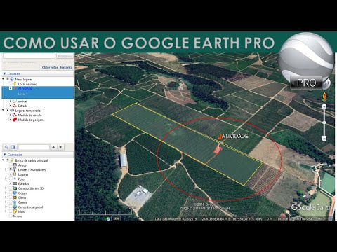
COMO USAR O GOOGLE EARTH PRO
QGIS BASICO - AULA 01 - DOWNLOAD, INSTALAÇÃO E CONFIGURAÇÃO
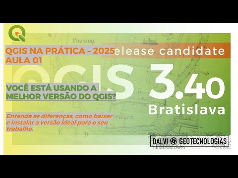
VOCÊ ESTÁ USANDO A MELHOR VERSÃO DO QGIS?
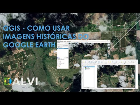
QGIS - Como usar imagens históricas do Google Earth
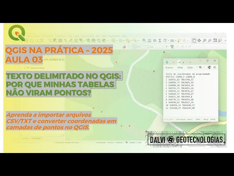
TEXTO DELIMITADO NO QGIS: POR QUE MINHAS TABELAS NÃO VIRA...
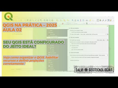
SEU QGIS ESTÁ CONFIGURADO DO JEITO IDEAL?
Geoaplicada
15,800
5.82
%
Como baixar shapefiles no portal do IBGE - Curso de mapa ...
Importar coordenadas UTM do Excel para o QGIS e criar sha...
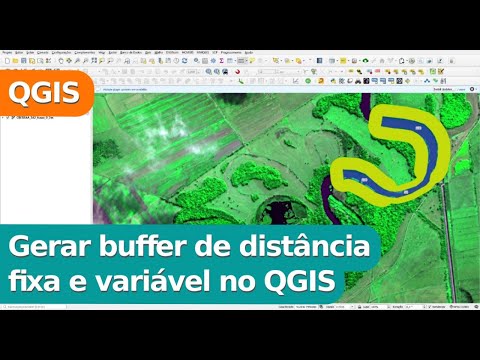
Gerar buffer de distância fixa e variável no QGIS
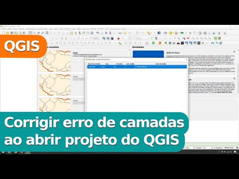
Corrigir erro de camada ao abrir projeto do QGIS
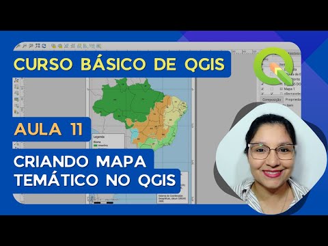
Aula 11 - Criar mapa temático no QGIS - Curso básico de QGIS
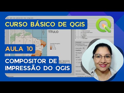
Aula 10 - Compositor de impressão do QGIS - Curso básico ...
Ambiental Pro
21,700
6.36
%
Ambiental Pro Live #011 - Como começar do zero no ArcGIS
Live Ambiental Pro #001 - Mapa de Localização no ArcGIS
Aula 1: COMO MONTAR UM MAPA DO ABSOLUTO ZERO NO QGIS (PAS...
Aula Magna - Formação em WebGIS e WebApps
A Importância de Sair da Zona de Conforto e Buscar Novos ...
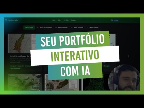
IA na prática: como criar um portfólio profissional com a...
GeoDelta Labs
47,800
2.23
%
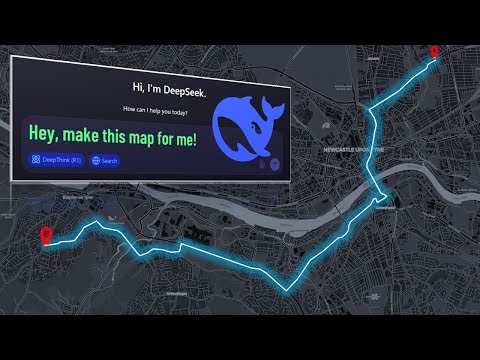
How DeepSeek AI Helped Me Create Maps Effortlessly
A Complete Beginner's Guide to ArcGIS Desktop (Part 1)
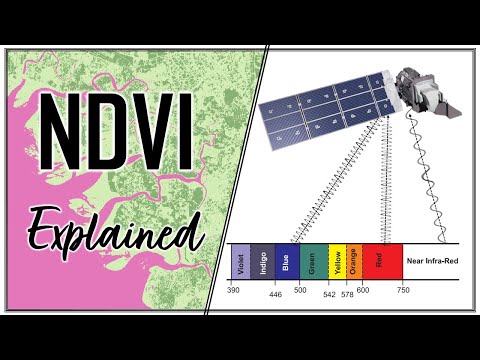
Calculating NDVI using Satellite Imagery with QGIS
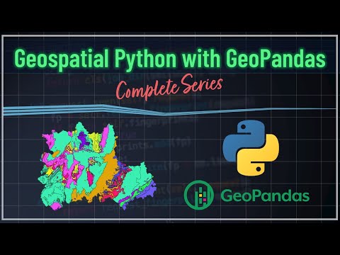
Geospatial Python with GeoPandas - Introduction
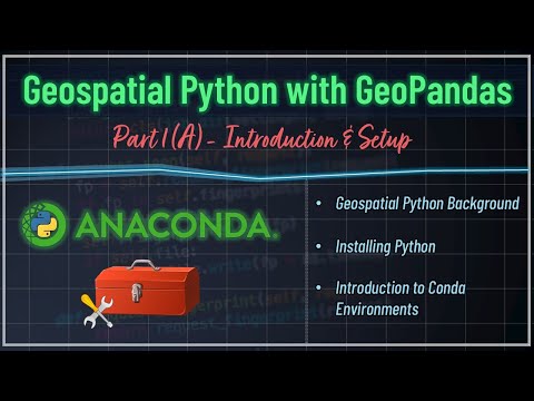
Background, Installing Python & Introduction to Conda Env...
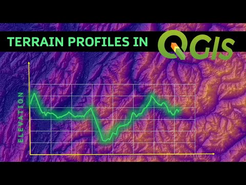
Creating Terrain Profiles in QGIS
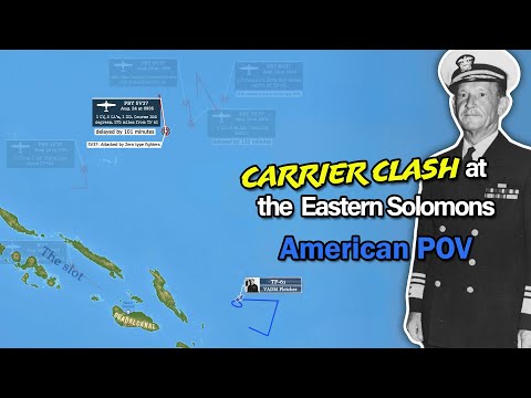
Montemayor
324,000
1.94
%
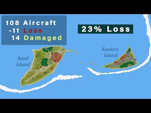
The Battle of Midway 1942: Told from the Japanese Perspec...
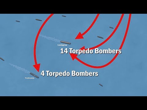
The Battle of the Coral Sea 1942: The First Aircraft Carr...
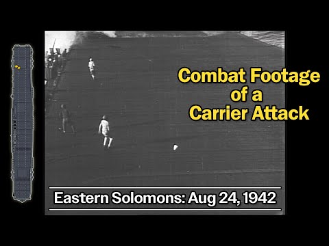
Combat Footage of the Battle of the Eastern Solomons: Ana...
The Sinking of the USS Wasp: The Most Devastating Torpedo...
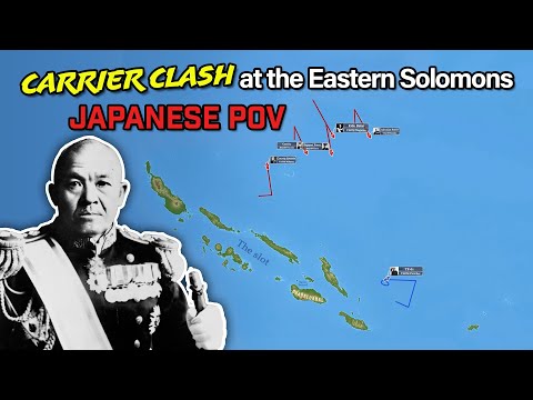
Battle of the Eastern Solomons: Japanese POV & Analysis o...
Battle of the Eastern Solomons: Told from the American PO...
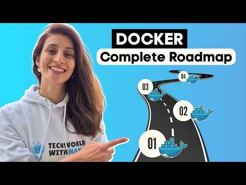
TechWorld with Nana
364,000
3.05
%
Kubernetes Tutorial for Beginners [FULL COURSE in 4 Hours]
Python Tutorial for Beginners - Learn Python in 5 Hours [...
1 MILLION Special - Ask me Anything
Learn Docker in 2025 - Complete Roadmap Beginner to Pro
Why your IT Resume Isn't Working (And What Actually Does)
6 DevOps Career Paths with 6-Figure Potential
MIT OpenCourseWare
3,390,000
1.13
%
1. Introduction to the Human Brain
How to Speak
How opening learning can close knowledge gaps with June O...
Alleviating poverty and sharing knowledge globally with E...
Lecture 11: Extreme and Intermediate Value Theorem; Metri...
Lecture 18: Integrable Functions
Related Keywords
mapa (8)