Limnology
Canali educativi
Esplora
Trova canali simili
🇮🇹 Italiano
🇺🇸 English
🇪🇸 Español
🇷🇺 Русский
🇧🇷 Português
🇸🇦 العربية
🇰🇷 한국어
🇫🇷 Français
🇹🇷 Türkçe
🇩🇪 Deutsch
🇮🇩 Bahasa Indonesia
🇹🇭 ไทย
🇵🇱 Polski
🇨🇳 中文
🇯🇵 日本語
🇻🇳 Tiếng Việt
🇧🇩 বাংলা
🇱🇰 සිංහල
Canali Youtube Come GEARS - Geospatial Ecology and Remote Sensing
GEARS - Geospatial Ecology and Remote Sensing
6,420
1.47
%
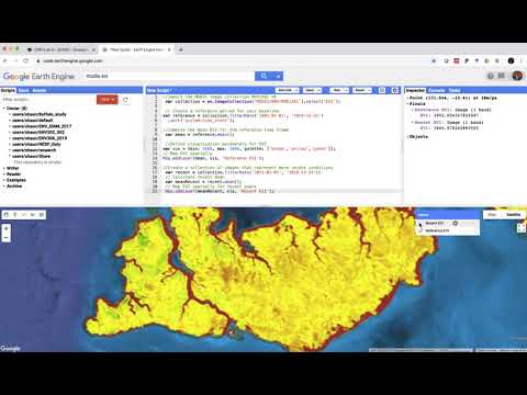
Exploring Sentinel-2 multi-spectral band combinations in ...
Supervised classification in Google Earth Engine
Environmental Monitoring 2019 - Lab 5
Environmental Monitoring 2019 - Lab 4
Environmental Monitoring 2019 - Lab 1
Environmental Monitoring 2019 - Lab 6
Hans van der Kwast
13,400
2.17
%
Print Layout in QGIS 3
Stream and catchment delineation in QGIS 3
Launch Webinar QGIS for Hydrological Applications 2nd Edi...
Catchment Morphometric Analysis in QGIS with the ArcGeek ...
The QGIS Resources Hub and QGIS Hub Plugin
Add Data Plotly Graphs to the QGIS Print Layout
GIS & RS Solution
17,300
2.63
%
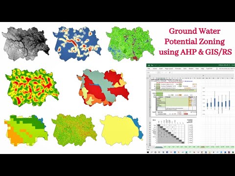
Identification of Groundwater Potential Zone using GIS/Re...
Study Area Mapping | Create Map Layout in ArcGIS
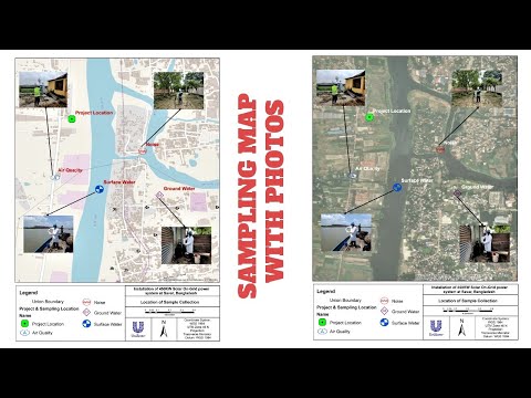
Sampling/Monitoring/Survey Map with Photos
Download Present and Future Climate Data 1901 to 2099
Automatic Land Surface Temperature (LST) Calculation and ...
Can't Find Layers or Browser Panel in QGIS? (Quick Fix!)
Esri Industries
14,600
1.85
%
Creating Dynamic, Real-Time Maps with Operations Dashboar...
Esri Case Study: The Shopping Center Group (TSCG)
GIS for Science, Volume 2 | Official Trailer
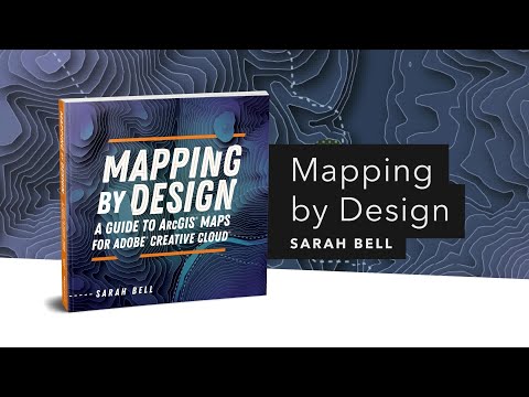
Mapping by Design: A Guide to ArcGIS Maps for Adobe Creat...
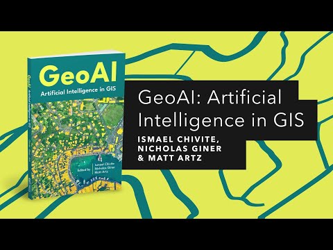
GeoAI: Artificial Intelligence in GIS | Official Trailer
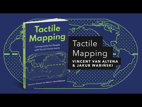
Tactile Mapping: Cartography for People with Visual Impai...
VTgeospatial
5,870
0.53
%
Introduction to QGIS
Remote Sensing Basics
ESRI's HUB Platform: News, Best Practices, and the Future...
Connecting Open Source and Machine Learning for Geospatia...
Using UAS Topobathy LiDAR to Map Vermont Riverine Environ...
A More Precise Mapping of Lake Champlain's Bottom Bathymetry
GeoDelta Labs
47,800
2.23
%
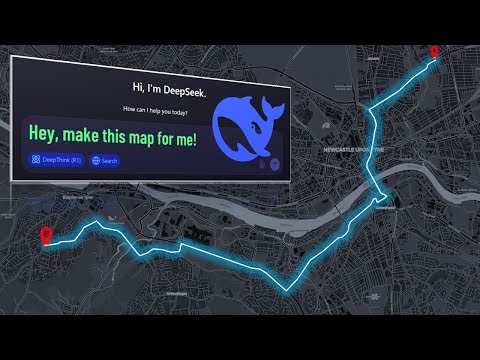
How DeepSeek AI Helped Me Create Maps Effortlessly
A Complete Beginner's Guide to ArcGIS Desktop (Part 1)
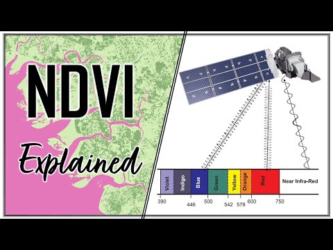
Calculating NDVI using Satellite Imagery with QGIS
Geospatial Python with GeoPandas - Introduction
Basic Conda Commands and Installing Visual Studio Code (V...
Background, Installing Python & Introduction to Conda Env...
AlphaPhoenix
126,000
4.44
%
50,000,000x Magnification
Homebuilt Lightspeed Camera #physics #light #engineering
Eyes vs. Cameras: Why eclipses are so hard to film
Dragonflies hunt by predicting the future
I weighed an airplane... while it was flying!
Weighing a paper airplane WHILE IT'S FLYING. #physics #sl...
Awesome Open Source
23,400
3.3
%
The Open Source software I'm using in 2023 - Part 1!
The Free and Open Source Software I Use in 2024 - Part 1
Run Linux Desktops in your Browser with Docker and Webtops!
Being an Open Source Advocate - Forgive me for getting on...
Car Care 101: Data-Driven Decisions
Chhoto URL Shortener - Open Source, Self Hosted, Efficien...
Related Keywords
arcgis (12)
gis (21)
mapping (62)
remote sensing (15)
maps (60)
raster (14)
qgis (8)