Limnology
القنوات التعليمية
يكتشف
البحث عن قنوات مماثلة
🇸🇦 العربية
🇺🇸 English
🇪🇸 Español
🇷🇺 Русский
🇧🇷 Português
🇰🇷 한국어
🇫🇷 Français
🇹🇷 Türkçe
🇩🇪 Deutsch
🇮🇩 Bahasa Indonesia
🇹🇭 ไทย
🇵🇱 Polski
🇮🇹 Italiano
🇨🇳 中文
🇯🇵 日本語
🇻🇳 Tiếng Việt
🇧🇩 বাংলা
🇱🇰 සිංහල
قنوات يوتيوب مثل GEARS - Geospatial Ecology and Remote Sensing
GEARS - Geospatial Ecology and Remote Sensing
6,420
1.47
%
Exploring Sentinel-2 multi-spectral band combinations in ...
Supervised classification in Google Earth Engine
Environmental Monitoring 2019 - Lab 5
Environmental Monitoring 2019 - Lab 4
Environmental Monitoring 2019 - Lab 1
Environmental Monitoring 2019 - Lab 6
Hans van der Kwast
13,400
2.17
%
Print Layout in QGIS 3
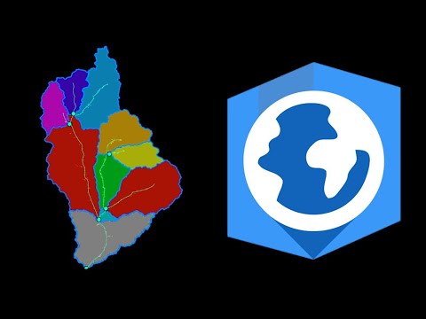
Stream and catchment delineation in QGIS 3
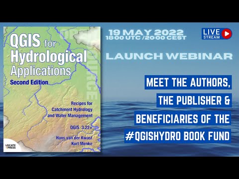
Launch Webinar QGIS for Hydrological Applications 2nd Edi...
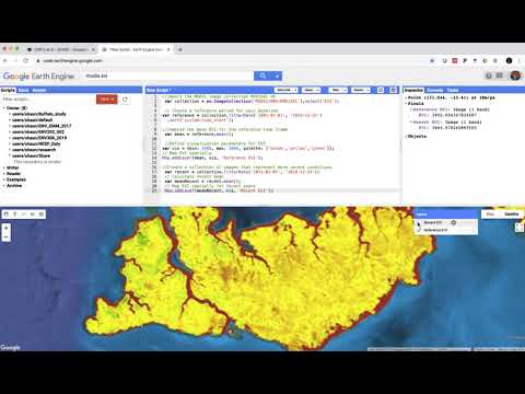
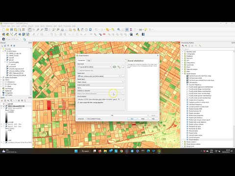
Calculate Zonal Statistics of Sentinel-2 derived NDVI for...
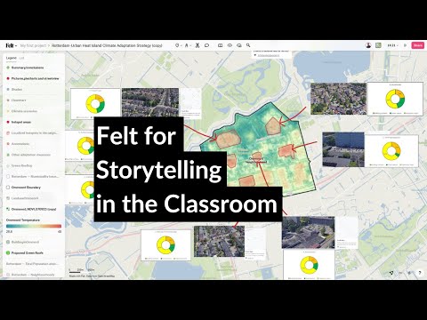
Felt for Storytelling in the Classroom
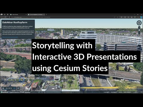
Storytelling with Interactive 3D Presentations using Cesi...
GIS & RS Solution
17,300
2.63
%
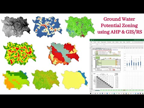
Identification of Groundwater Potential Zone using GIS/Re...
Study Area Mapping | Create Map Layout in ArcGIS
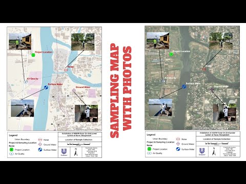
Sampling/Monitoring/Survey Map with Photos
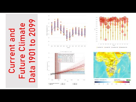
Download Present and Future Climate Data 1901 to 2099
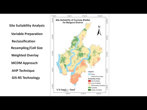
Cyclone Shelter Site Suitability Mapping Using GIS-AHP Te...
Extract Elevation Values from DEM
Esri Industries
14,600
1.85
%
Creating Dynamic, Real-Time Maps with Operations Dashboar...
Esri Case Study: The Shopping Center Group (TSCG)
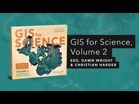
GIS for Science, Volume 2 | Official Trailer
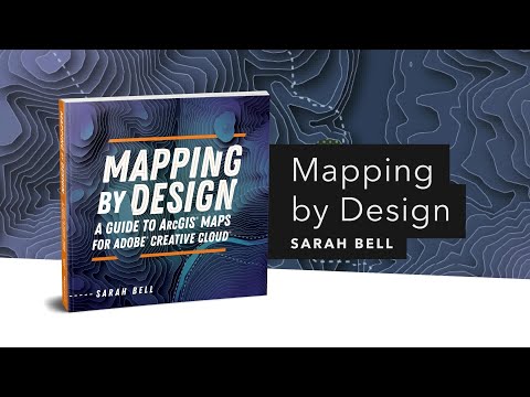
Mapping by Design: A Guide to ArcGIS Maps for Adobe Creat...
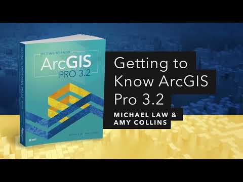
Getting to Know ArcGIS Pro 3.2 | Official Esri Press Trailer
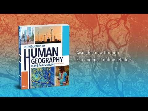
Introduction to Human Geography Using ArcGIS Online, seco...
VTgeospatial
5,870
0.53
%
Introduction to QGIS
Remote Sensing Basics
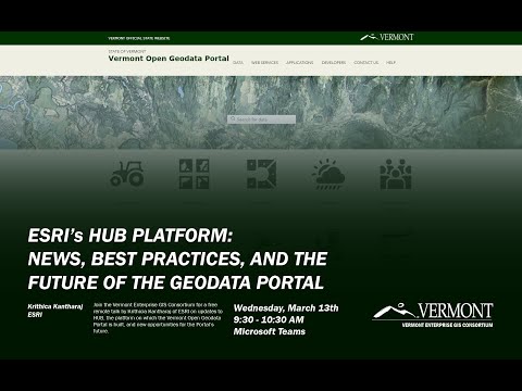
ESRI's HUB Platform: News, Best Practices, and the Future...
Connecting Open Source and Machine Learning for Geospatia...
A More Precise Mapping of Lake Champlain's Bottom Bathymetry
Big Transportation Data In Vermont
GeoDelta Labs
47,800
2.23
%
A Complete Beginner's Guide to ArcGIS Desktop (Part 1)
An Absolute Beginner's Guide to QGIS 3
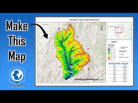
Deriving Rivers and Watersheds using ArcGIS Pro
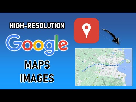
Download High-Resolution Google Maps Images
Hydrologic Analysis Tutorial using ArcGIS Pro
Making a Map using ArcGIS Pro
AlphaPhoenix
126,000
4.44
%
50,000,000x Magnification
Are solid objects really solid?
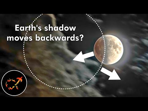
Eyes vs. Cameras: Why eclipses are so hard to film
Impressions: Every exploit to “break the algorithm” targe...
Stochastic art: I made a machine that mixes ink and water...
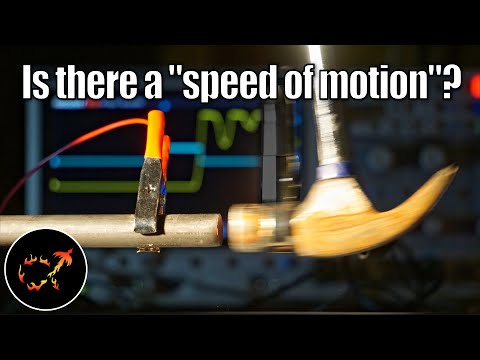
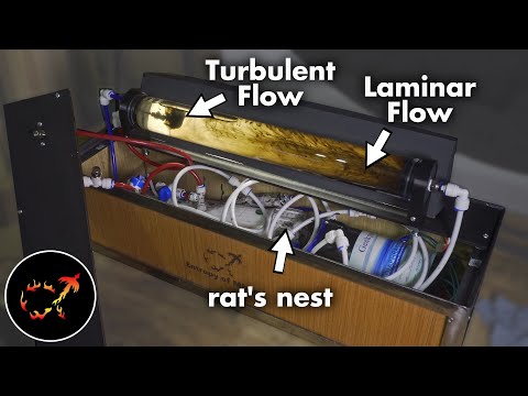
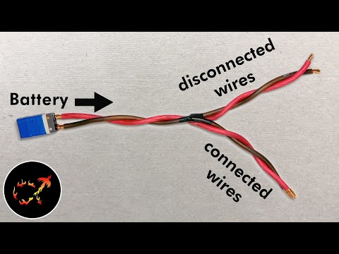
Watch electricity hit a fork in the road at half a billio...
Awesome Open Source
23,400
3.3
%
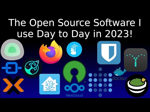
The Open Source software I'm using in 2023 - Part 1!
This is the open source software I use each day in 2023.....
Run Linux Desktops in your Browser with Docker and Webtops!
Being an Open Source Advocate - Forgive me for getting on...
I messed up - and got called on it.
Is the Ugreen NAS the Ultimate Homelab Product?
Related Keywords
arcgis (12)
gis (21)
mapping (62)
remote sensing (15)
maps (60)
raster (14)
qgis (8)